Canopi
Deep-tech geospatial software for physical risk.
Canopi is purpose-built software that processes climate modelling, hazards and local environmental datasets into practical evidence for investment due diligence, resilience planning and land-use decisions.
Built for those investing in, financing and managing land, property and infrastructure.
Get started.
Climate risk is shaping value.
Most decisions still can’t see it.
Advanced climate and hazard science now produces terabyte-scale, multi-dimensional datasets across models, variables, scenarios, time horizons and locations.
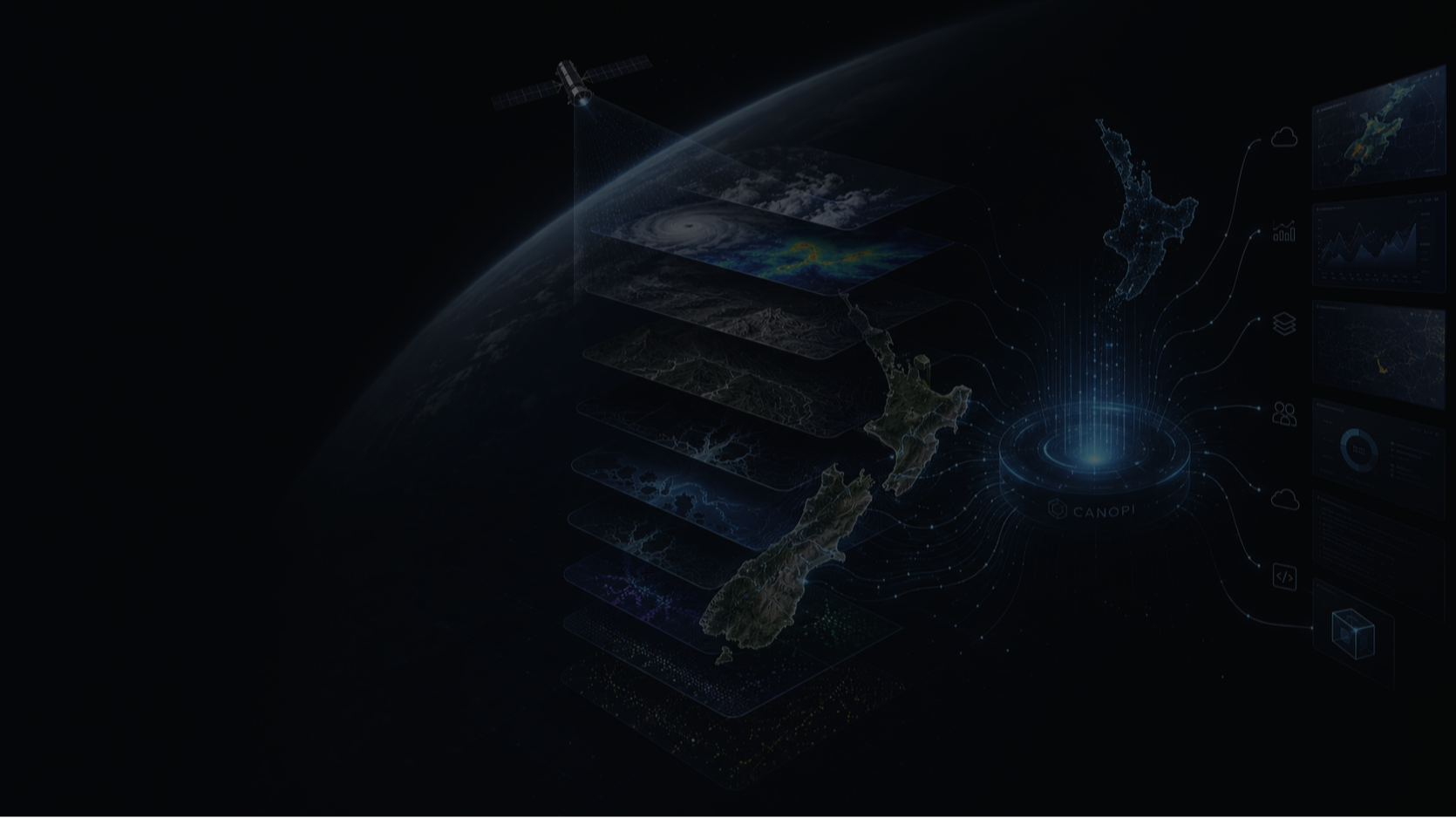
Canopi processes this complexity into decision intelligence — connecting climate modelling, mapped hazard layers and local environmental datasets to show what is changing, where it matters, and what it means for land, property and infrastructure decisions.
Map. Model. Act.
-
01 — MAP
Define and spatially resolve each asset.
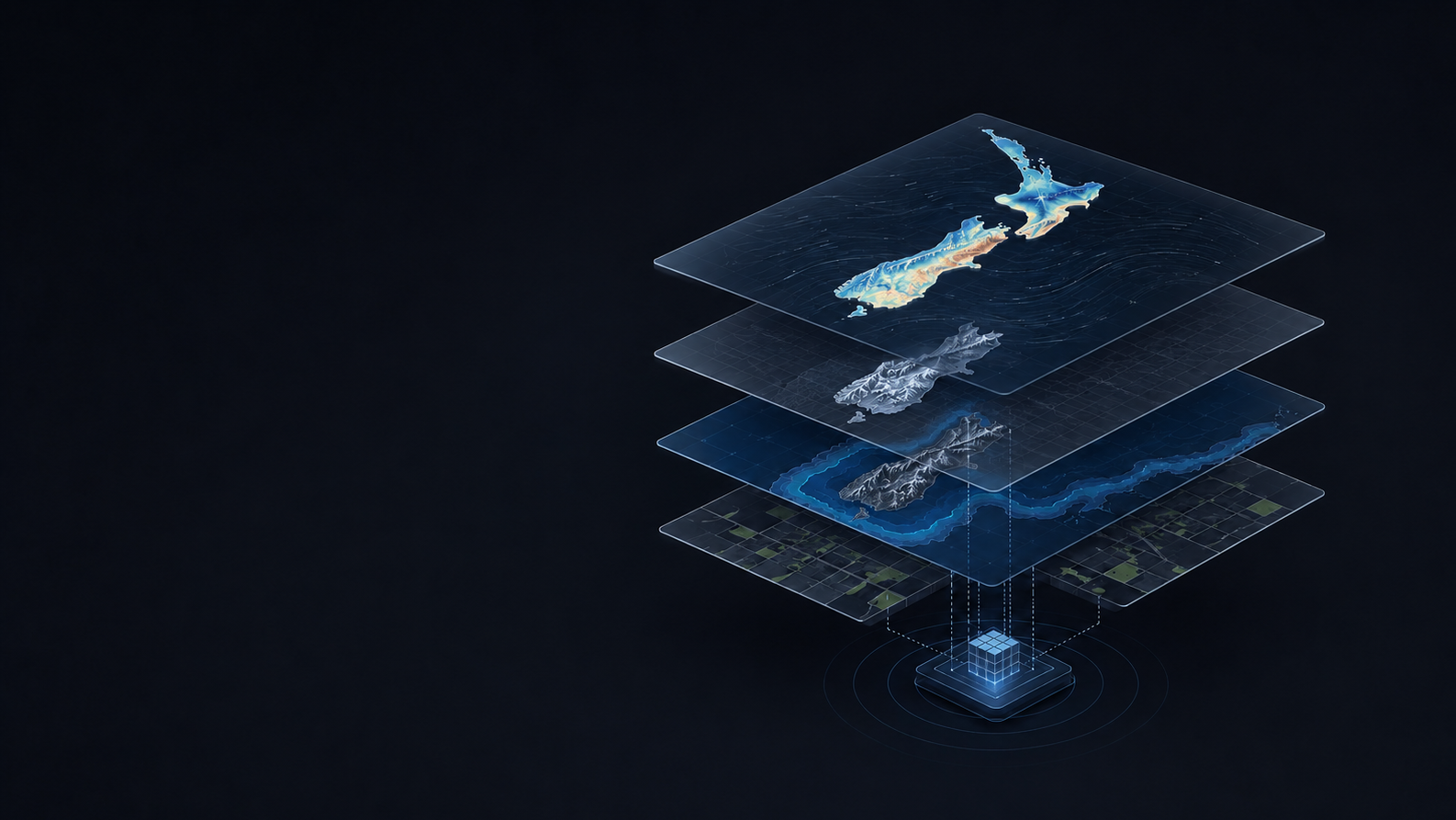
Canopi resolves site boundaries, titles and asset geometry, then intersects each footprint with relevant hazard, terrain, soil, water and land-use datasets to create a consistent geospatial evidence base across sites and portfolios.
-
02 — MODEL
Run high-throughput, asset-level risk modelling.
Canopi processes multiple climate models, scenarios, time horizons and variables through its proprietary risk engine, combining hazard, exposure and asset sensitivity to reveal the dominant risk signals at each site and how they change over time.
-
03 — ACT
Turn risk intelligence into decision-ready evidence.
Canopi produces clear and comparable outputs for site selection, due diligence, portfolio resilience planning supporting CRD climate statements, TCFD / ISSB-aligned disclosure and GRESB-style reporting.
Use cases include acquisition and lending due diligence, asset and portfolio strategy, resilience planning, climate-related disclosure and governance reporting.
Grounded in science. Built for governance.
Canopi is built on peer-reviewed climate science, internationally recognised risk frameworks and advanced geospatial data analysis. It combines IPCC physical science, CMIP6 model ensembles, SSP scenario pathways, observed climate records and reproducible spatial methods.
Canopi helps leaders see which risks are most material, where the evidence is strongest, and what needs further attention.
Outputs are:
Traceable: assumptions and source data documented
Comparable: consistent across sites and portfolios
Defensible: structured for reporting, investment and governance
Frequently Asked Questions
-
Canopi helps organisations understand and compare physical climate risk across land, property and infrastructure before important decisions are locked in.
It supports acquisition and lending due diligence, site selection, portfolio prioritisation, resilience and asset planning, land-use decisions, and physical-risk evidence for governance and climate-related reporting.
Canopi can be used for a single site or consistently across a portfolio to identify the main risk drivers, compare assets and prioritise where further investigation or action is needed.
-
Canopi provides a strong physical-risk evidence base for climate-related disclosure, including New Zealand’s Climate Standards and Australia’s AASB S2.
These frameworks require organisations to identify and assess physical climate risks across relevant locations and time horizons, explain the information and methods used, and understand which assets or activities are vulnerable to physical risk. NZ CS 1 specifically requires disclosure of the amount or percentage of assets or business activities vulnerable to physical risks, while AASB S2 has an equivalent physical-risk metric requirement.
Canopi supports this through consistent site and portfolio risk assessment, mapped exposure, key risk drivers, geographic analysis, scenario and time-horizon comparison, and traceable data and assumptions.
Importantly, the FMA’s 2026 review identified physical-risk assessment as an area where reporting still needs to improve. It called for stronger understanding of the underlying hazard, exposure and vulnerability, clearer identification of the assets and activities exposed, and consideration of higher-resolution, location-specific data where available.
These are directly relevant to the evidence Canopi is designed to provide. This means the same physical-risk intelligence used for investment, asset management and resilience decisions can also support climate reporting, rather than disclosure being a separate exercise.
-
Canopi brings climate projections, mapped hazards and relevant site and asset data together and applies a consistent physical-risk methodology.
It assesses acute and chronic risks including flooding and heavy rainfall, extreme heat, wind extremes, coastal exposure, warming and drought or drying pressure. Behind the assessment sit more than 75 climate indicators alongside relevant hazard and geospatial information, including terrain, soils, water, land use, land capability and asset context where appropriate.
Rather than relying on a single forecast, Canopi shows what could change, what is exposed, the key drivers of risk and how those signals vary across future scenarios, time horizons and climate models.
-
At site level, Canopi provides physical-risk scores and drivers, mapped exposure where available, relevant climate metrics, scenario and time-horizon comparisons, and the relevant Productive Land or Property & Facilities Outlook.
At portfolio level, the same methodology allows organisations to compare assets consistently, identify concentrations of risk and prioritise where attention is most needed.
Outputs include site and portfolio views, reports, metrics exports and structured results for use in other workflows. Key datasets, assumptions and assessment settings are retained so results can be traced and compared over time.
-
Canopi is built around the asset and the decision, rather than simply showing that a hazard exists.
It brings multiple climate and hazard signals together with relevant local land and asset context so sites can be assessed and compared consistently. Its Productive Land and Property & Facilities Outlooks then help translate those changing physical conditions into implications for the way the asset is actually used.
For productive land, supported outlooks currently include apples, viticulture, dairy/beef and forestry, and different supported land uses can be explored at the same location.
For property and facilities, Canopi considers pressures including heat and cooling, moisture, heavy rainfall and drainage, flood and coastal exposure, wind, access and operational continuity.
The result is a repeatable evidence layer for investment, lending, asset management, resilience and governance decisions.
-
Canopi uses established climate science and authoritative peer reviewed climate, hazard and geospatial datasets relevant to each market.
It assesses multiple climate models, future scenarios and time horizons rather than presenting one modelled future as a prediction. Sources, assumptions and assessment settings are retained so the basis of the results can be understood and traced.
Climate projections and hazard datasets inherently contain uncertainty and vary in resolution. Canopi is designed to provide a consistent and defensible basis for screening and decision-making under uncertainty, rather than replacing detailed engineering, valuation, agronomic or other specialist assessment where that level of analysis is required.
-
Canopi is live in New Zealand, with Australian capability now being deployed.
Each market uses the relevant climate, hazard, land and asset datasets for that geography rather than applying one country’s data or assumptions everywhere.
Canopi supports site and portfolio reporting, metrics exports and API integration, allowing results to be incorporated into existing investment, risk, asset-management and reporting workflows.